Présentation de la Chapelle-Bertin
Le petit village de la Chapelle-Bertin
est situé dans le département
de l'Haute-Loire
(43),
en région
Auvergne-Rhône-Alpes, anciennement en Auvergne.
Il
appartient au canton de Plateau du Haut-Velay granitique, et fait parti de la Communauté d'agglomération du Puy-en-Velay.
La Chapelle-Bertin est une commune rurale hors agglomération. Il compte environ 49 habitants pour une superficie de 11.28 km². Son altitude varie entre 680 m et 1136 m.
La commune se situe dans une zone rurale à habitat très dispersé, où les habitations sont particulièrement éloignées les unes des autres. Sa densité de population est de 4.0 hab./km².
Code postal de la Chapelle-Bertin : 43270
Évolution démographique
Localisation de la Chapelle-Bertin en France
Département et région : (43) Haute-Loire, Auvergne (Auvergne-Rhône-Alpes)
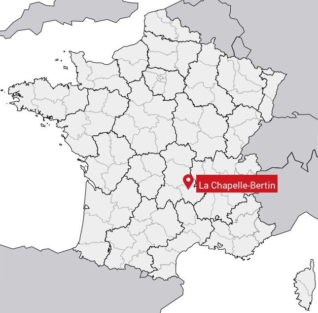
Carte de la Chapelle-Bertin
Coordonnées GPS de la Chapelle-Bertin : Latitude 45.217° N · Longitude 3.648° E
Informations sur La Chapelle-Bertin
Code INSEE : 43057 SOUNDEX : L2141635 METAPHONE : LXPLBRTN
Communes aux alentours de la Chapelle-Bertin
Avis des habitants (0)
Aucun avis. Soyez le premier à laisser votre avis sur La Chapelle-Bertin.