Présentation de la Chapelle-Bâton
Le village de la Chapelle-Bâton
est situé dans le département
du Deux-Sèvres
(79),
en région
Nouvelle-Aquitaine, anciennement en Poitou-Charente.
Il
appartient au canton d' Autize-Egray, et fait parti de la Communauté de communes Val de Gâtine.
La Chapelle-Bâton est une commune rurale hors agglomération. Il compte environ 411 habitants pour une superficie de 16.92 km². Son altitude varie entre 78 m et 200 m.
La commune se situe dans une zone rurale à habitat très dispersé, où les habitations sont particulièrement éloignées les unes des autres. Sa densité de population est de 24.0 hab./km².
Les habitants de la Chapelle-Bâton se nomment les Chapellois, Chapelloises.
Code postal de la Chapelle-Bâton : 79220
Évolution démographique
Localisation de la Chapelle-Bâton en France
Département et région : (79) Deux-Sèvres, Poitou-Charente (Aquitaine-Limousin-Poitou-Charentes)
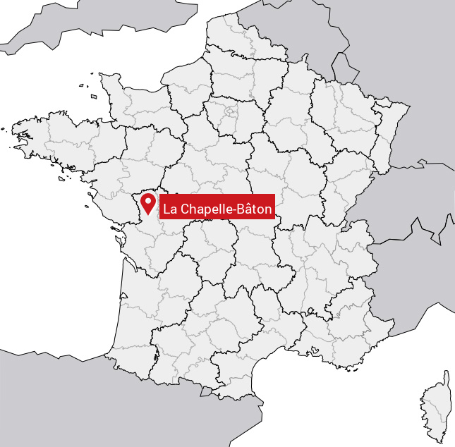
Carte de la Chapelle-Bâton
Coordonnées GPS de la Chapelle-Bâton : Latitude 46.468° N · Longitude -0.325° E
Informations sur La Chapelle-Bâton
Code INSEE : 79070 SOUNDEX : L214135 METAPHONE : LXPLBTN
Communes aux alentours de la Chapelle-Bâton
Avis des habitants (0)
Aucun avis. Soyez le premier à laisser votre avis sur La Chapelle-Bâton.