Présentation de la Chapelle-aux-Saints
Le village de la Chapelle-aux-Saints
est situé dans le département
de la Corrèze
(19),
en région
Nouvelle-Aquitaine, anciennement en Limousin.
Il
appartient au canton de Midi Corrézien, et fait parti de la Communauté de communes Midi Corrézien.
La Chapelle-aux-Saints est une commune située dans l’agglomération de Vayrac. Il compte environ 266 habitants pour une superficie de 4.93 km². Son altitude varie entre 120 m et 191 m.
La commune s’inscrit dans un territoire rural à habitat dispersé, caractérisé par des habitations espacées. Sa densité de population est de 54.0 hab./km².
Les habitants de la Chapelle-aux-Saints se nomment les Capelouxs.
Code postal de la Chapelle-aux-Saints : 19120
Évolution démographique
Localisation de la Chapelle-aux-Saints en France
Département et région : (19) Corrèze, Limousin (Aquitaine-Limousin-Poitou-Charentes)
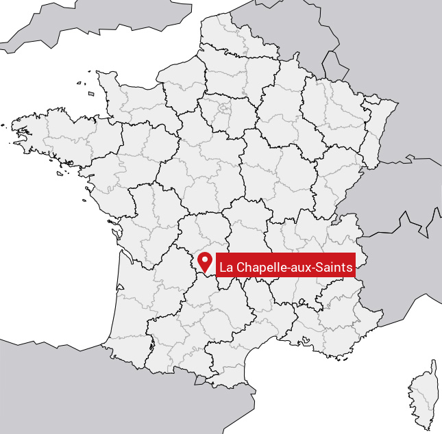
Carte de la Chapelle-aux-Saints
Coordonnées GPS de la Chapelle-aux-Saints : Latitude 44.983° N · Longitude 1.719° E
Informations sur La Chapelle-aux-Saints
Code INSEE : 19044 SOUNDEX : L2142532 METAPHONE : LXPLKSSNTS
Communes aux alentours de la Chapelle-aux-Saints
Avis des habitants (0)
Aucun avis. Soyez le premier à laisser votre avis sur La Chapelle-aux-Saints.