Présentation de Camps-Saint-Mathurin-Léobazel
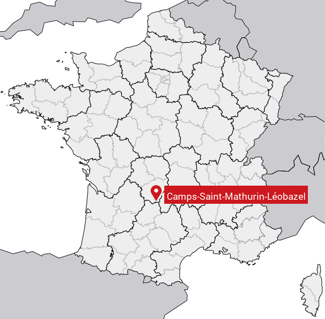
Le village de Camps-Saint-Mathurin-Léobazel
est situé dans le département
de la Corrèze
(19),
en région
Nouvelle-Aquitaine, anciennement en Limousin.
Il
appartient au canton d' Argentat-sur-Dordogne, et fait parti de la Communauté de communes Xaintrie Val'Dordogne.
Camps-Saint-Mathurin-Léobazel est une commune rurale hors agglomération. Il compte environ 210 habitants pour une superficie de 34.05 km². Son altitude varie entre 160 m et 623 m.
La commune se situe dans une zone rurale à habitat très dispersé, où les habitations sont particulièrement éloignées les unes des autres. Sa densité de population est de 6.0 hab./km².
Code postal de Camps-Saint-Mathurin-Léobazel : 19430
Évolution démographique
Localisation de Camps-Saint-Mathurin-Léobazel en France
Département et région : (19) Corrèze, Limousin (Aquitaine-Limousin-Poitou-Charentes)
Carte de Camps-Saint-Mathurin-Léobazel
Coordonnées GPS de Camps-Saint-Mathurin-Léobazel : Latitude 44.993° N · Longitude 1.995° E
Informations sur Camps-Saint-Mathurin-Léobazel
Code INSEE : 19034 SOUNDEX : C5125353654124 METAPHONE : KMPSSNTM0RNLBSL
Communes aux alentours de Camps-Saint-Mathurin-Léobazel
Avis des habitants (0)
Aucun avis. Soyez le premier à laisser votre avis sur Camps-Saint-Mathurin-Léobazel.