Présentation de Bois-de-Gand
Le petit village de Bois-de-Gand
est situé dans le département
du Jura
(39),
en région
Bourgogne-Franche-Comté, anciennement en Franche Comté.
Il
appartient au canton de Bletterans, et fait parti de la Communauté de communes Bresse Haute Seille.
Bois-de-Gand est une commune rurale hors agglomération. Il compte environ 58 habitants pour une superficie de 3.3 km². Son altitude varie entre 204 m et 226 m.
La commune se situe dans une zone rurale à habitat très dispersé, où les habitations sont particulièrement éloignées les unes des autres. Sa densité de population est de 18.0 hab./km².
Code postal de Bois-de-Gand : 39230
Évolution démographique
Localisation de Bois-de-Gand en France
Département et région : (39) Jura, Franche Comté (Bourgogne-Franche-Comté)
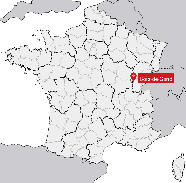
Carte de Bois-de-Gand
Coordonnées GPS de Bois-de-Gand : Latitude 46.826° N · Longitude 5.5° E
Informations sur Bois-de-Gand
Code INSEE : 39060 SOUNDEX : B23253 METAPHONE : BSTKNT
Communes aux alentours de Bois-de-Gand
Avis des habitants (0)
Aucun avis. Soyez le premier à laisser votre avis sur Bois-de-Gand.