Présentation de Bazoches-en-Dunois
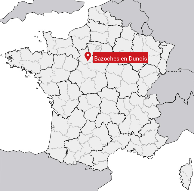
Le village de Bazoches-en-Dunois
est situé dans le département
de l'Eure-et-Loir
(28),
en région
Centre-Val de Loire, anciennement en Centre.
Il
appartient au canton de Les Villages Vovéens, et fait parti de la Communauté de communes Cœur de Beauce.
Bazoches-en-Dunois est une commune rurale hors agglomération. Il compte environ 261 habitants pour une superficie de 18.87 km². Son altitude varie entre 112 m et 139 m.
La commune s’inscrit dans un territoire rural à habitat dispersé, caractérisé par des habitations espacées. Sa densité de population est de 14.0 hab./km².
Code postal de Bazoches-en-Dunois : 28140
Évolution démographique
Localisation de Bazoches-en-Dunois en France
Département et région : (28) Eure-et-Loir, Centre (Centre-Val de Loire)
Carte de Bazoches-en-Dunois
Coordonnées GPS de Bazoches-en-Dunois : Latitude 48.095° N · Longitude 1.572° E
Informations sur Bazoches-en-Dunois
Code INSEE : 28028 SOUNDEX : B25352 METAPHONE : BSXSNTNS
Communes aux alentours de Bazoches-en-Dunois
Avis des habitants (0)
Aucun avis. Soyez le premier à laisser votre avis sur Bazoches-en-Dunois.