Présentation de la Bastide-Puylaurent
Le village de la Bastide-Puylaurent
est situé dans le département
de la Lozère
(48),
en région
Occitanie, anciennement en Languedoc-Roussillon.
Il
appartient au canton de Saint-Etienne-du-Valdonnez, et fait parti de la Communauté de communes Mont Lozère.
La Bastide-Puylaurent est une commune rurale hors agglomération. Il compte environ 170 habitants pour une superficie de 24.02 km². Son altitude varie entre 751 m et 1328 m.
La commune s’inscrit dans un territoire rural à habitat dispersé, caractérisé par des habitations espacées. Sa densité de population est de 7.0 hab./km².
Le prix moyen de l'immobilier à Bastide-Puylaurent est de 2031 €/m2.
Les habitants de la Bastide-Puylaurent se nomment les Bastidois.
Code postal de la Bastide-Puylaurent : 48250
Évolution démographique
Localisation de la Bastide-Puylaurent en France
Département et région : (48) Lozère, Languedoc-Roussillon (Languedoc-Roussillon-Midi-Pyrénées)
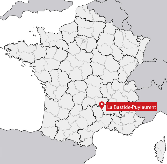
Carte de la Bastide-Puylaurent
Coordonnées GPS de la Bastide-Puylaurent : Latitude 44.566° N · Longitude 3.888° E
Informations sur La Bastide-Puylaurent
Code INSEE : 48021 SOUNDEX : L12314653 METAPHONE : LBSTTPLRNT
Communes aux alentours de la Bastide-Puylaurent
Avis des habitants (0)
Aucun avis. Soyez le premier à laisser votre avis sur La Bastide-Puylaurent.