Présentation d'Alçay-Alçabéhéty-Sunharette
Le village d'Alçay-Alçabéhéty-Sunharette
est situé dans le département
des Pyrénées-Atlantiques
(64),
en région
Nouvelle-Aquitaine, anciennement en Aquitaine.
Il
appartient au canton de Montagne Basque, et fait parti de la Communauté d'agglomération du Pays Basque.
Alçay-Alçabéhéty-Sunharette est une commune rurale hors agglomération. Il compte environ 208 habitants pour une superficie de 34.75 km². Son altitude varie entre 217 m et 1535 m.
La commune se situe dans une zone rurale à habitat très dispersé, où les habitations sont particulièrement éloignées les unes des autres. Sa densité de population est de 6.0 hab./km².
Les habitants d'Alçay-Alçabéhéty-Sunharette se nomment les Altzaiars.
Code postal d'Alçay-Alçabéhéty-Sunharette : 64470
Évolution démographique
Localisation d'Alçay-Alçabéhéty-Sunharette en France
Département et région : (64) Pyrénées-Atlantiques, Aquitaine (Aquitaine-Limousin-Poitou-Charentes)
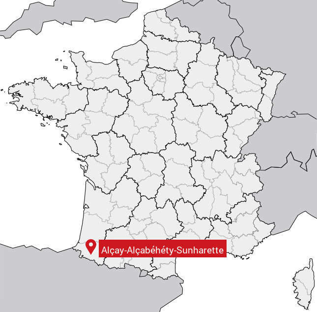
Carte d'Alçay-Alçabéhéty-Sunharette
Coordonnées GPS d'Alçay-Alçabéhéty-Sunharette : Latitude 43.087° N · Longitude -0.976° E
Informations sur Alçay-Alçabéhéty-Sunharette
Code INSEE : 64015 SOUNDEX : A4242132563 METAPHONE : ALKLKBHTSNHRT
Communes aux alentours d'Alçay-Alçabéhéty-Sunharette
Avis des habitants (0)
Aucun avis. Soyez le premier à laisser votre avis sur Alçay-Alçabéhéty-Sunharette.