Présentation d'Aïcirits-Camou-Suhast
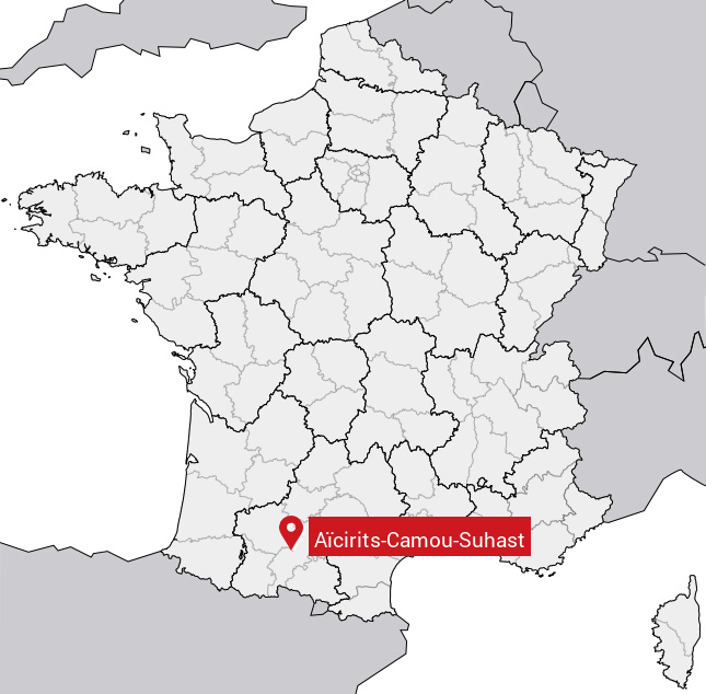
Le village d'Aïcirits-Camou-Suhast se trouve dans le département français des Pyrénées-Atlantiques (64) en région Aquitaine, dans la nouvelle région Aquitaine-Limousin-Poitou-Charentes.
Aïcirits-Camou-Suhast compte environ 700 habitants, sa superficie est de 9.5 km². Son altitude est comprise entre 26 m et 155 m.
Sa densité de population était de 68 hab./km² en 2010 (source INSEE).
Code postal d'Aïcirits-Camou-Suhast : 64120
Évolution démographique
Localisation d'Aïcirits-Camou-Suhast en France
Département et région : (64) Pyrénées-Atlantiques, Aquitaine (Aquitaine-Limousin-Poitou-Charentes)
À voir à Aïcirits-Camou-Suhast
Monuments historiques de Aïcirits-Camou-Suhast
Il y a un monument historique à voir à Aïcirits-Camou-Suhast.
|
Ancien château de Camou
64120 Aïcirits-Camou-Suhast
|
Carte de Aïcirits-Camou-Suhast
Coordonnées GPS d'Aïcirits-Camou-Suhast : Latitude 43.3367° N · Longitude 0.976112° E
Informations sur Aïcirits-Camou-Suhast
Code INSEE : 64010 SOUNDEX : A2632523 METAPHONE : ASRTSKMSHST
Communes aux alentours de Aïcirits-Camou-Suhast
Avis des habitants (0)
Aucun avis. Soyez le premier à laisser votre avis sur Aïcirits-Camou-Suhast.